Books
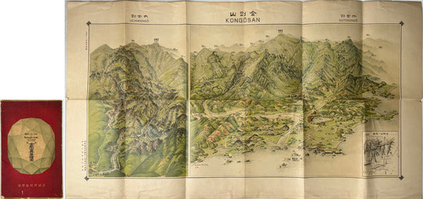
Bird's-Eye View of Kongo-zan (Diamond Mountain), Korea: Pictorial Map, Chosen Governor-General's Temporary Land Survey Bureau, 1923
Bird's-Eye View of Kongo-zan (Diamond Mountain), Korea — Pictorial Map, 1923
A finely realised bird's-eye pictorial map of Kongo-zan — the celebrated Diamond Mountains of Korea — issued by the Temporary Land Survey Bureau of the Chosen Governor-General, in a revised printing of 1922 and dated to 1923. Rendered in the aerial-perspective tradition, the sheet sweeps across the famed peaks, valleys, and scenic landmarks of one of East Asia's most renowned mountain landscapes, presenting the range as both topography and spectacle.
Produced during the period of colonial administration in Korea, the map belongs to the official survey and tourism culture of its day, and original sheets retaining their issuing folder are now uncommon. Beyond its evident decorative appeal, it stands as a primary cartographic document of how the Diamond Mountains were surveyed, named, and presented to the traveller in the early 1920s — a source of real interest to historians of cartography, of the colonial period in Korea, and of East Asian travel and landscape.
An elegant and genuine pictorial map of the period, of clear appeal to collectors of historical maps and East Asian materials.
Offered by KT Vintage, drawing on decades of trusted international sales to discerning collectors and institutions across Europe, the Americas, Asia, and Oceania.
Description & Historical Context
Bird's-Eye View of Kongo-zan (Diamond Mountain), Korea — Pictorial Map, 1923
A finely realised bird's-eye pictorial map of Kongo-zan — the celebrated Diamond Mountains of Korea — issued by the Temporary Land Survey Bureau of the Chosen Governor-General, in a revised printing of 1922 and dated to 1923. Rendered in the aerial-perspective tradition, the sheet sweeps across the famed peaks, valleys, and scenic landmarks of one of East Asia's most renowned mountain landscapes, presenting the range as both topography and spectacle.
Produced during the period of colonial administration in Korea, the map belongs to the official survey and tourism culture of its day, and original sheets retaining their issuing folder are now uncommon. Beyond its evident decorative appeal, it stands as a primary cartographic document of how the Diamond Mountains were surveyed, named, and presented to the traveller in the early 1920s — a source of real interest to historians of cartography, of the colonial period in Korea, and of East Asian travel and landscape.
An elegant and genuine pictorial map of the period, of clear appeal to collectors of historical maps and East Asian materials.
Offered by KT Vintage, drawing on decades of trusted international sales to discerning collectors and institutions across Europe, the Americas, Asia, and Oceania.
Collation
| Category | Books |
|---|---|
| Condition | acceptable |
| SKU | N0000000794 |
From the same shelf
Related acquisitions
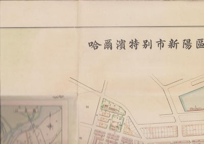
Map of the City of Harbin (China), 1942 - Large Single-Sheet Street Map

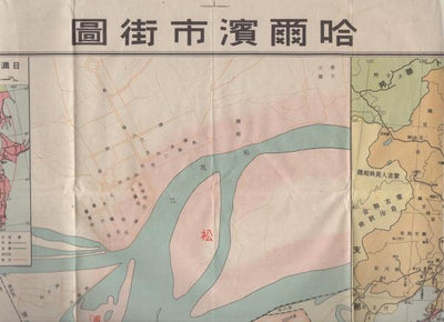
Street Map of Harbin, Scale 1:16,000: Hirooka Mitsuji, 1941
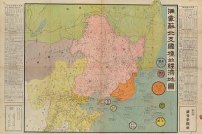
Border and Economic Map of Manchuria, Mongolia, Soviet Territory and North China, Scale 1:4,000,000: With Statistical Summaries, 1936