Books
Map of the City of Harbin (China), 1942 - Large Single-Sheet Street Map
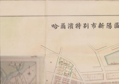
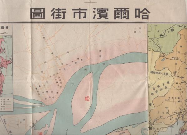
Map of the City of Harbin (China), 1942
A striking large-format street map of Harbin, the great cosmopolitan railway city of northern Manchuria, printed in 1942. Measuring approximately 76 by 54 centimetres and produced on a single sheet, this cartographic document captures the dense urban fabric of a city that, in the first half of the twentieth century, stood at the crossroads of Chinese, Russian, and Japanese influence.
Harbin grew rapidly from the late nineteenth century around the Chinese Eastern Railway, attracting merchants, engineers, and emigrants from across Eurasia. By the 1940s it had become one of the most distinctive cities of the region, known for its Russian-influenced architecture, its multinational commercial districts, and its role as a transport hub linking the rail and river networks of the north. A street map of this scale and date offers a rare window onto the layout, districts, and infrastructure of the wartime city.
This is a primary cartographic resource of genuine historical interest to collectors of East Asian historical materials, students of Manchurian urban history, and those drawn to the rich, layered story of Harbin itself.
Description & Historical Context
Map of the City of Harbin (China), 1942
A striking large-format street map of Harbin, the great cosmopolitan railway city of northern Manchuria, printed in 1942. Measuring approximately 76 by 54 centimetres and produced on a single sheet, this cartographic document captures the dense urban fabric of a city that, in the first half of the twentieth century, stood at the crossroads of Chinese, Russian, and Japanese influence.
Harbin grew rapidly from the late nineteenth century around the Chinese Eastern Railway, attracting merchants, engineers, and emigrants from across Eurasia. By the 1940s it had become one of the most distinctive cities of the region, known for its Russian-influenced architecture, its multinational commercial districts, and its role as a transport hub linking the rail and river networks of the north. A street map of this scale and date offers a rare window onto the layout, districts, and infrastructure of the wartime city.
This is a primary cartographic resource of genuine historical interest to collectors of East Asian historical materials, students of Manchurian urban history, and those drawn to the rich, layered story of Harbin itself.
Collation
| Category | Books |
|---|---|
| Condition | acceptable |
| SKU | N0000005875 |
From the same shelf
Related acquisitions

Street Map of Harbin, Scale 1:16,000: Hirooka Mitsuji, 1941
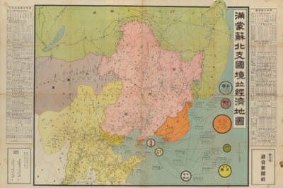
Border and Economic Map of Manchuria, Mongolia, Soviet Territory and North China, Scale 1:4,000,000: With Statistical Summaries, 1936
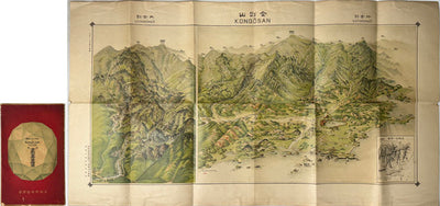
Bird's-Eye View of Kongo-zan (Diamond Mountain), Korea: Pictorial Map, Chosen Governor-General's Temporary Land Survey Bureau, 1923