Books
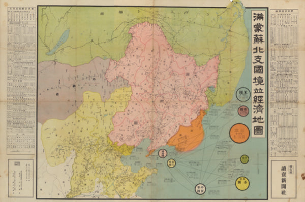
Border and Economic Map of Manchuria, Mongolia, Soviet Territory and North China, Scale 1:4,000,000: With Statistical Summaries, 1936
Border and Economic Map of Manchuria, Mongolia, Soviet Territory and North China — Scale 1:4,000,000, 1936
A large-scale border and economic map of 1936 covering Manchuria, Mongolia, the adjoining Soviet territory, and North China, drawn at a scale of one to four million and accompanied by statistical summaries of Manchuria and of the five provinces of North China. The sheet sets the political borders of the Northeast and the China frontier against an economic reading of the region — resources, administration, and the statistical anatomy of lands then at the centre of contending interests.
Produced at a moment of mounting strategic attention to the Manchuria-Mongolia-Soviet frontier and to North China, the map is a primary cartographic and economic document of how those territories were measured, bordered, and assessed on the eve of wider conflict. Period maps of this scope, pairing a border depiction with statistical apparatus, are specific survivals of real documentary interest.
A genuine cartographic source of the period, of clear appeal to historians of cartography, of Northeast Asian geography and economy, and to collectors of historical maps of China and East Asian materials.
Offered by KT Vintage, drawing on decades of trusted international sales to discerning collectors and institutions across Europe, the Americas, Asia, and Oceania.
Description & Historical Context
Border and Economic Map of Manchuria, Mongolia, Soviet Territory and North China — Scale 1:4,000,000, 1936
A large-scale border and economic map of 1936 covering Manchuria, Mongolia, the adjoining Soviet territory, and North China, drawn at a scale of one to four million and accompanied by statistical summaries of Manchuria and of the five provinces of North China. The sheet sets the political borders of the Northeast and the China frontier against an economic reading of the region — resources, administration, and the statistical anatomy of lands then at the centre of contending interests.
Produced at a moment of mounting strategic attention to the Manchuria-Mongolia-Soviet frontier and to North China, the map is a primary cartographic and economic document of how those territories were measured, bordered, and assessed on the eve of wider conflict. Period maps of this scope, pairing a border depiction with statistical apparatus, are specific survivals of real documentary interest.
A genuine cartographic source of the period, of clear appeal to historians of cartography, of Northeast Asian geography and economy, and to collectors of historical maps of China and East Asian materials.
Offered by KT Vintage, drawing on decades of trusted international sales to discerning collectors and institutions across Europe, the Americas, Asia, and Oceania.
Collation
| Category | Books |
|---|---|
| Condition | acceptable |
| SKU | N0000007385 |
From the same shelf
Related acquisitions
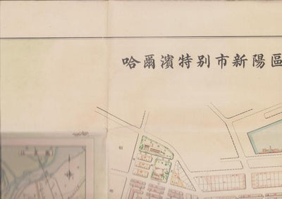
Map of the City of Harbin (China), 1942 - Large Single-Sheet Street Map

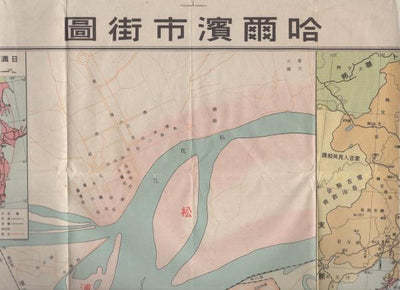
Street Map of Harbin, Scale 1:16,000: Hirooka Mitsuji, 1941
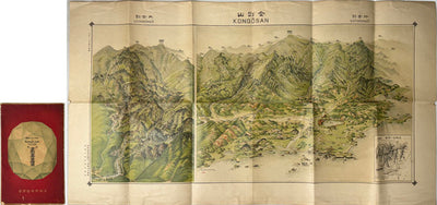
Bird's-Eye View of Kongo-zan (Diamond Mountain), Korea: Pictorial Map, Chosen Governor-General's Temporary Land Survey Bureau, 1923